Search Results
4 Concept Plan McIver Avenue Entry Area
JPEG image - good for photos 2 MB Download
The future western ridges walk CREDIT Daniel Tran
JPEG image - good for photos 2.1 MB Download
View to the east from the western ridges walk CREDIT Daniel Tran
JPEG image - good for photos 1.3 MB Download
Walk route
PNG image - good general-purpose format 8.9 MB Download
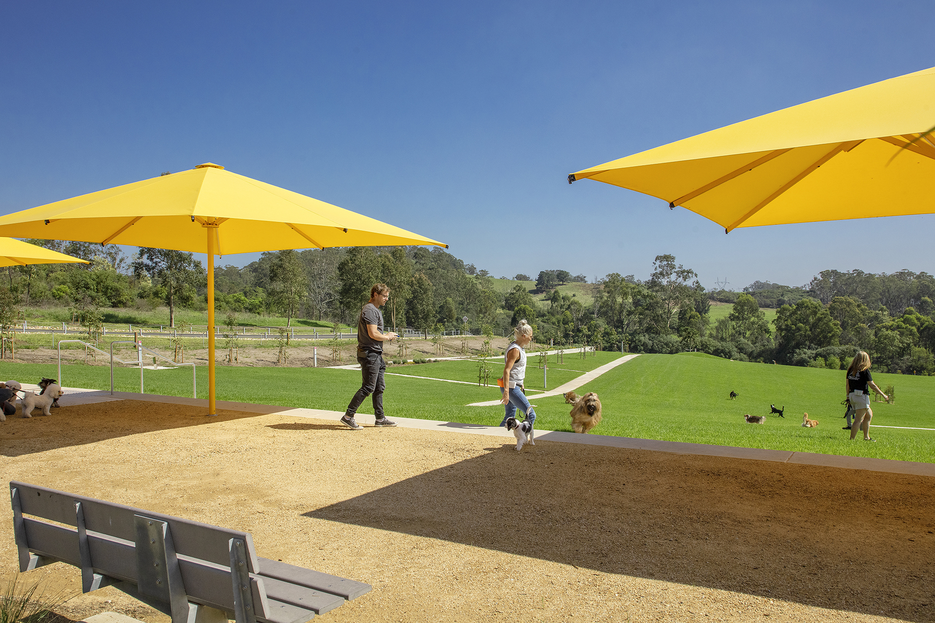
Shale Hills dog park
JPEG image - good for photos 2.4 MB Download
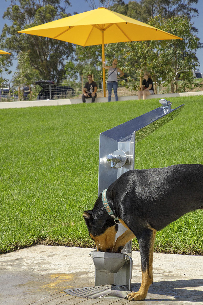
Shale Hills dog park
JPEG image - good for photos 1.2 MB Download
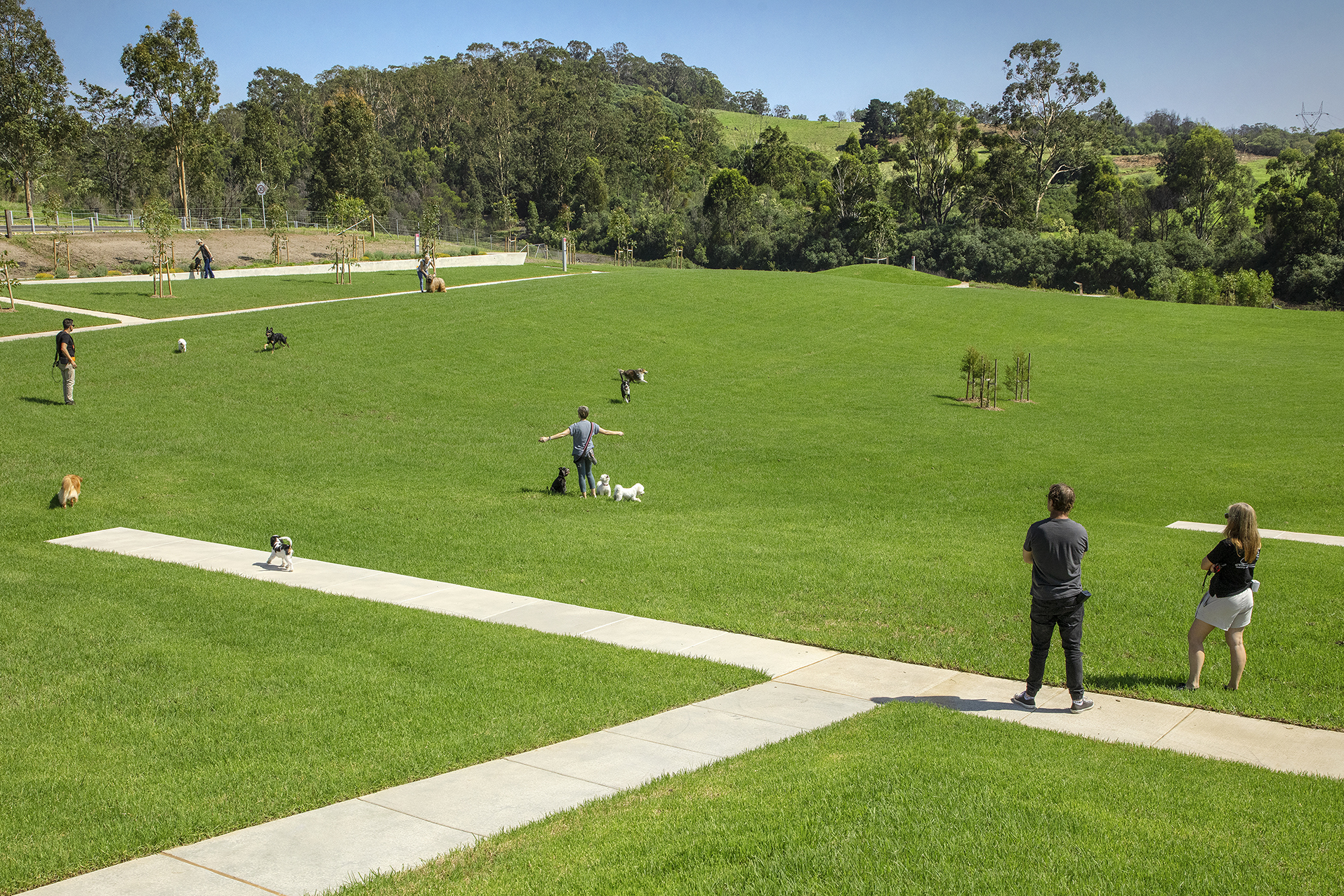
Shale Hills dog park
JPEG image - good for photos 3 MB Download
Shale Hills dog park
JPEG image - good for photos 863 KB Download
Shale Hills dog park
JPEG image - good for photos 2.6 MB Download
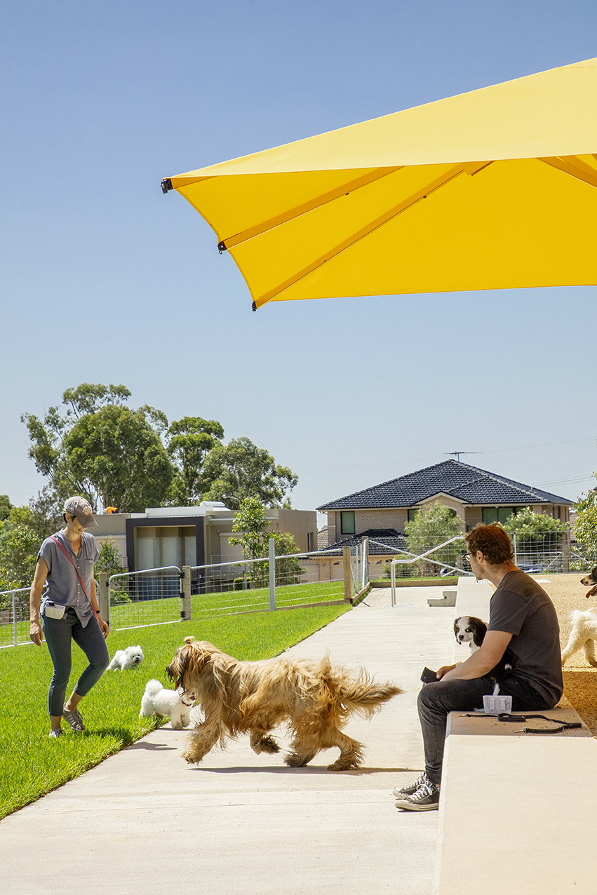
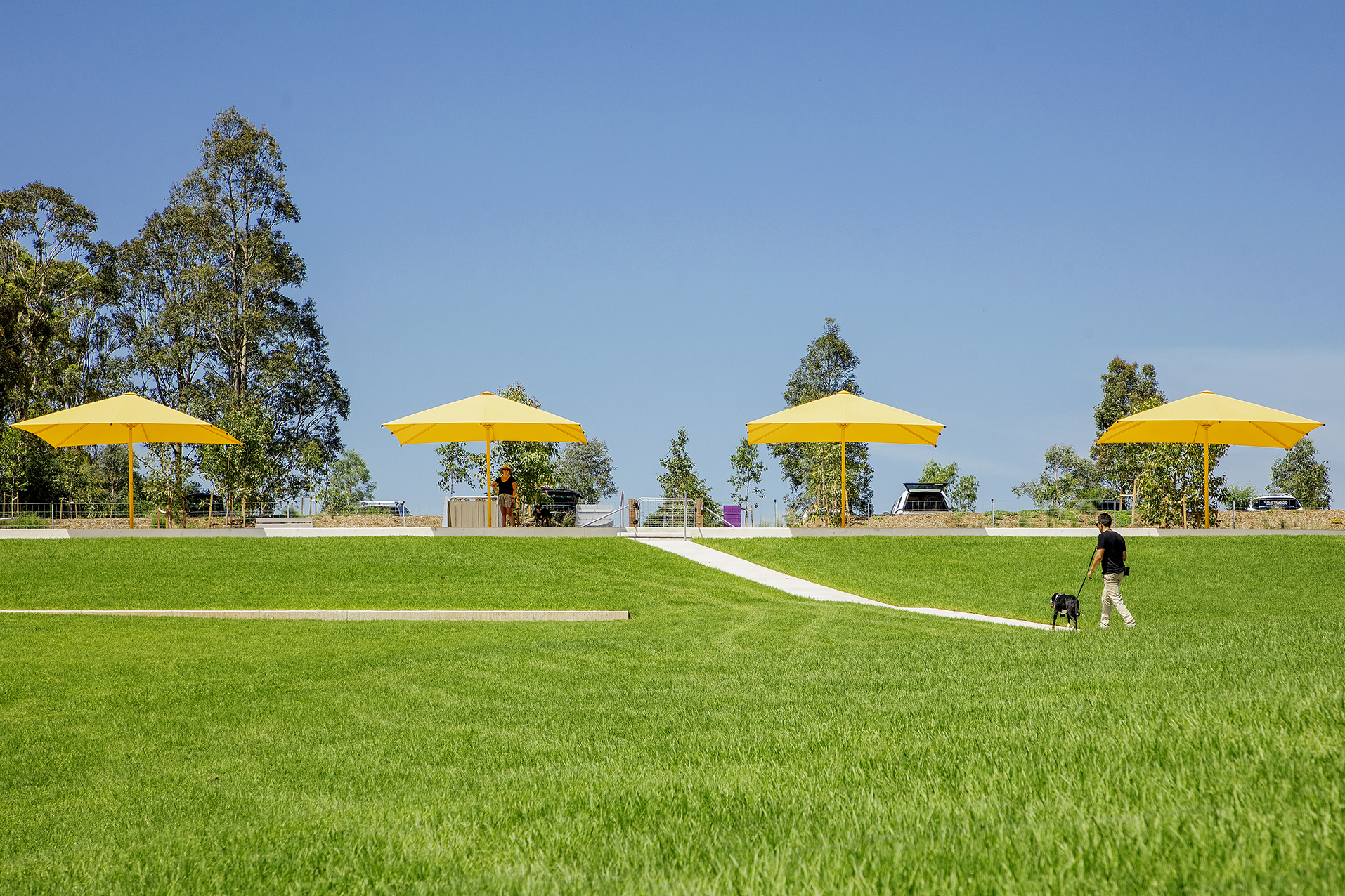
Shale Hills dog park
JPEG image - good for photos 1.5 MB Download